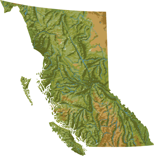
I keep on making these and then switching computers every few years and losing them, so I’m putting it here. The above file is what it looks like, but it’s a .PNG; ignore it. Here is a link to the BC vector map in AI (Adobe Illustrator) format. If you need to know what an Illustrator file is, this blog post isn’t for you.
I can’t guarantee the accuracy of the elevations but this will generally do for presentations / report covers etc. It is based on a JPG I found through a Google image search, but this will reproduce far better if you are working in Illustrator or InDesign. If you need a more sciencey or accurate topographic map, I recommend you go to GeoBC.
If you are a topography nerd, you should view this list of North American ultras. There are some sweet prominences in there, many of which are in B.C.