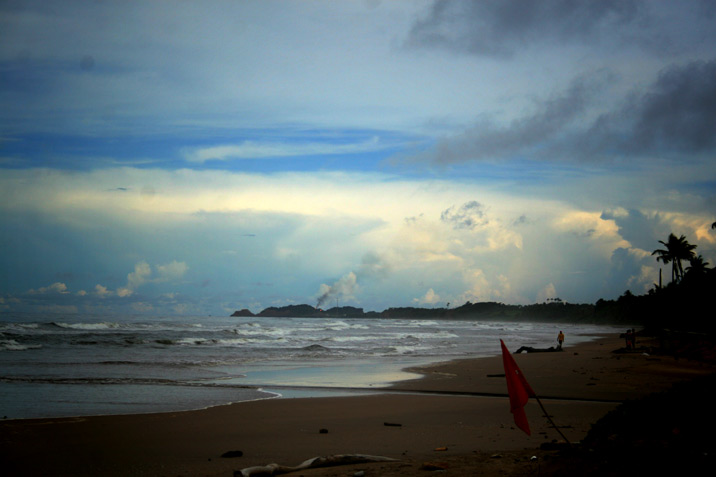
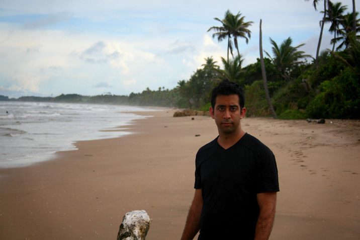
Much like its neighbour to the north, Mayaro Bay is sparse in visitors. It’s fairly far out of the way, but the roads are actually quite good with the exception of a few patches. For some reason these roads were made fairly well. I’m guessing it has something to do with the business present in the south eastern corner of Trinidad.
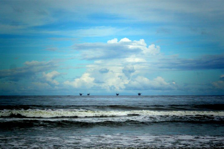
A bunch of you probably already know how I feel about the oil industry. The southern coasts of Trinidad are peppered with these offshore rigs, and the “remember to buckle up” public safety signs literally have BP’s logo on them as part of their outreach program. It’s fairly ingrained into society there.
It’s a bit spooky to be perfectly clear. I acknowledge the sad irony of flying somewhere to criticize an oil industry. Having done so over top of the Gulf of Mexico and seeing the Deepwater Horizon disaster first hand (it was quite visible from 30,000 feet, as the Lady Gaga impersonator pointed out to me), the severity of consequences of bad business protocol really sunk in. It’s a catastrophe with our own desires coupled with corporate irresponsibility to blame. None of the oil in the water had or has made it to Trinidad yet. Hopefully it remains that way, but Trinidad is at the edge of the Gulf of Mexico so I suppose we’ll see.
Here are a few more observations regarding Mayaro Bay. The villages along the coast seemed fairly well spaced out and not cramped, and there were many small businesses spotted along the drive. I am assuming this is partly due to the oil industry being nearby and the area being far away from truly urban areas – a combination of land, remoteness, and money.
Eventually we reached the south eastern corner of the country after an hour more, found a bunch of oil refineries, and then got to a part of the road which we were advised was not passable, and so we turned around and went east towards Rio Claro, Tableland, Princes Town, and finding San Fernando on the west coast of the island, taking the highway north back to Port of Spain / San Juan. The distances were not all that great, however winding roads and road conditions mean one must budget more time than expected for a trip like this. We left the Port of Spain area around 11:30 AM and got back around 7 PM with a few stops along the way – but we didn’t stay much more than an hour in any of the two places – Mayaro Bay and Manzanilla Beach.